|
SatDump 2.0.0-alpha-76a915210
|
|
SatDump 2.0.0-alpha-76a915210
|
Generic base class for satellite raytracers. More...
#include <satellite_raytracer.h>
Public Member Functions | |
| SatelliteRaytracer (nlohmann::ordered_json cfg) | |
| virtual bool | get_position (double x, double y, geodetic::geodetic_coords_t &pos, double *otime=nullptr)=0 |
| Get geodetic position of a pixel (can be fractional) | |
Protected Attributes | |
| const nlohmann::ordered_json | d_cfg |
Generic base class for satellite raytracers.
The general idea is that in most cases in order to geo-reference satellite imagery it is necessary to calculate where the instrument was looking from the attitude & position of the satellite, and raytrace this to Earth. In this instance, it is meant to convert pixel positions in an image to lat/lon.
IMPORTANT : The pixel values here MUST already have been ran through a ChannelTransform if required for the channel you're working with!
Of course there are many different methods to do this considering how variable the instruments and scanning patterns are, therefore many variants are required.
| d_cfg | internal copy of the JSON configuration |
|
pure virtual |
Get geodetic position of a pixel (can be fractional)
| x | pixel position |
| y | pixel position |
| pos | output geodetic position |
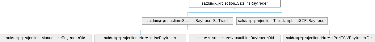
| otime | optionally, timestamp of the position |
Implemented in satdump::projection::ManualLineRaytracerOld, satdump::projection::NormalLineRaytracer, satdump::projection::NormalLineRaytracerOld, satdump::projection::NormalPerIFOVRaytracerOld, and satdump::projection::TimestampLineGCPsRaytracer.